


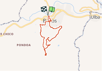
Baños - Casa del Arbol

gildascb
User


6h13
Difficulty : Very difficult

FREE GPS app for hiking
 SityTrail
IGN / Geographical institutes
SityTrail Plus
The world is yours!
About
Trail Walking of 11 km to be discovered at Tungurahua, Baños, Baños de Agua Santa. This trail is proposed by gildascb.
Description
¡Caminata desde la ciudad de Baños hasta la Casa del Árbol. la subida es muy exigente (muy empinada) pero hay muchos miradores en el camino que lo hacen una experiencia inolvidable!
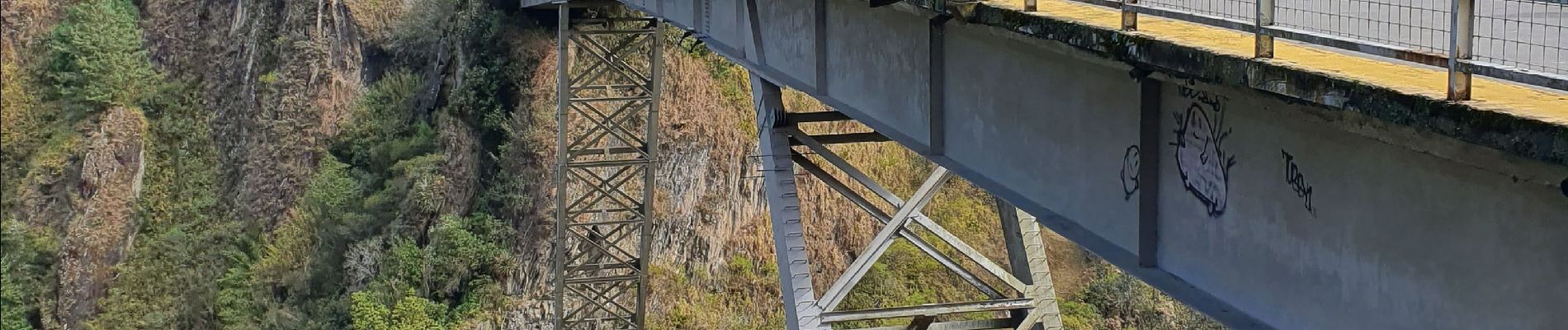
Photos


41 photos in total. Please click on a photo to see them all in the gallery.
Positioning
Comments